


Snowy Owl Radar Satellite
With a launch weight of 350 kg and an in‑orbit design life of 5 years, this satellite features high‑precision inter‑satellite cooperation. Its formation baseline accuracy is 10⁻³ m, and inter‑satellite time synchronization reaches 10⁻⁸ s. It delivers excellent imaging performance: clustering resolution ≥0.5 m, strip resolution ≥2 m, and interference resolution of 10⁻²m. It serves surveying & mapping, emergency response, military reconnaissance, road‑bridge and geological monitoring, supporting airport reconnaissance and earthquake emergency assessment.USD 8 million. The Satellite costs include satellite launch fees and in‑orbit delivery fees.
RM32176000.00
RM100000000.00
Code:WX-002
Series:Satellite Series
Spec:350kg
Material:Carbon fiber composite + aerospace-grade lightweight aluminum alloy
Color:black
Brand:BUILDAZA
Quantity
1 items selected,Total RM32176000.00
Contact Manager
Delivery to
Please add the address first.

DetailReview(0)
Q1: Price Explanation
A1: The above price including satellite cost launch costs group receiving stations
Satellite launch from china and orbit delivery .
Q2: What's the delivery time?
A2: 3 months to 6 months after confirmed the payment.
Q3: Delivery method
A3: Orbit Delivery.
Q4: How to order ?
A4: Send us your requirements and application We develop a solution After confirmed Pay deposit Projects Starts Your Projects Our Satellite Solution.
Top-tier design Personalized Customization

ELEGANT LUXURIOUS
Series Style :Chinese Style
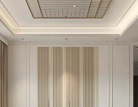
GOLDEN JADE
Series Style:Japanese Style

LIA GEM
Series Style:European Style
contact us
total 0 Sheet,Only 5 images can be uploaded, each less than 5m.